Rainforest Alert
Community-based solutions to rainforest destruction now scientifically proven
Tags
- Indigenous Solutions
- Peru
Results of a new scientific study show that indigenous peoples using remote sensing technology can better survey their lands and reduce deforestation by half.
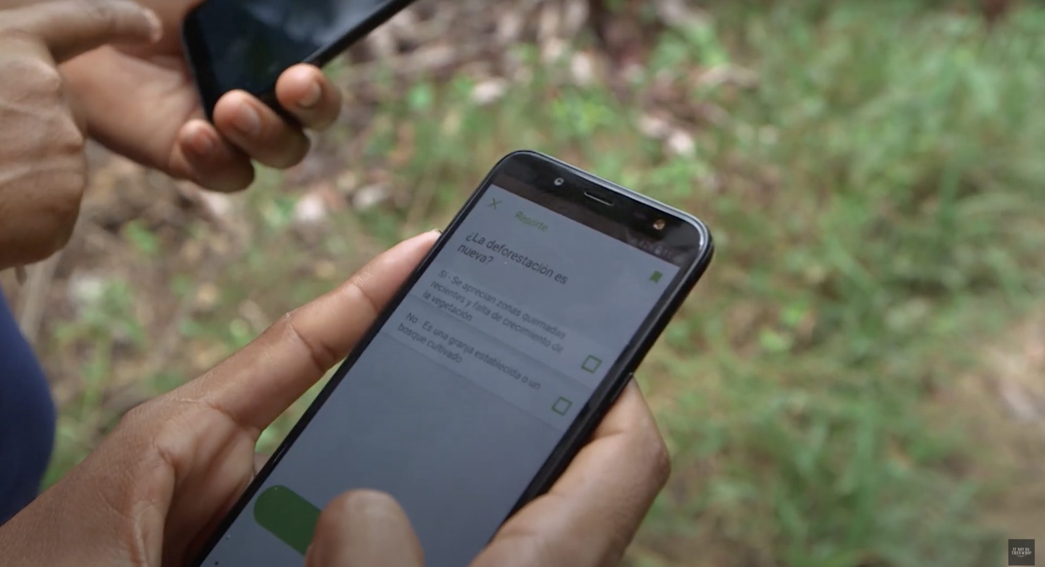
Under the community-based forest monitoring program, called Rainforest Alert, indigenous scouts combine satellite imagery with foot patrols to verify evidence and equip community leaders with the information they need to take action.
This cost-effective model could be scaled across the Amazon basin to reduce carbon dioxide emissions by the equivalent of 21 million cars per year, at only $6/hectare.
This film explains the results of the study, the Rainforest Alert methodology, and how it could be scaled across the Amazon basin to reduce emissions from deforestation.
Find out more about the study on the Rainforest Foundation website.
-
Profile
The Rainforest Foundation works on-the-ground to secure land rights for indigenous people. We strengthen indigenous land security and t...
View profile
-
Film
Using new technology local indigenous communities in the Loreto region of the Peruvian Amazon are not only successfully fending off illegal logging they are also monitoring new reforestation initiatives. As part of a project run by Rainforest Foundation US, The Indigenous Organization of the Eastern Peruvian Amazon (ORPIO-AIDESEP) and World Resources Institute, this film picks […]
Watch film
Indigenous SolutionsPeruSustainable Agriculture
-
Film
A growing number of Indigenous communities in Central and South America are harnessing the power of high-resolution satellite imagery, sophisticated drone equipment, and the latest smart-phone technology to precisely document and act on threats to their lands such as fires, gold-mining, logging, and deforestation for agriculture. But it’s not without its risks: community forest monitors […]
Watch film
Indigenous SolutionsPeruResource Extraction


